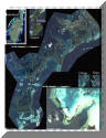
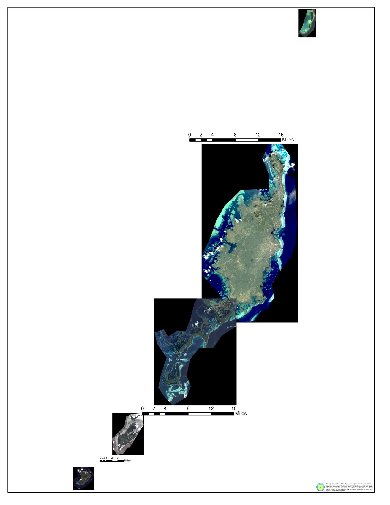
All Palau Map
Main map is Southern Babeldaob to Carp Island, Upper Left hand corner is Babeldaob Island, immediately to it's right are 2 small maps the upper being Peleliu and Anguar right below. The large picture in the lower right hand corner is the Blue Corner Complex and above it are two small pictures to the left is 2 Dogs Island and surrounding Islands and to the right is the Siaes Complex including Ulong Channel, Ulong Island, Saies Corner and more. If you click on Picture you will go to a page where you can download a printable page 'A' size although it looks much bigger on the computer screen.

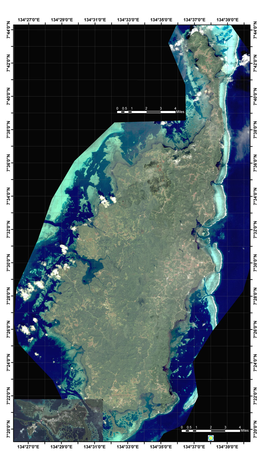
Babeldaob For a big picture click here
Babeldaob's northern coast to Malakal Island in the South with Latitude and Longitude grids at 1 Minute
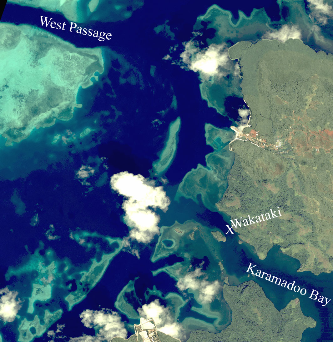
Click here for the WW2 Japanese shipwreck the Destroyer Wakataki
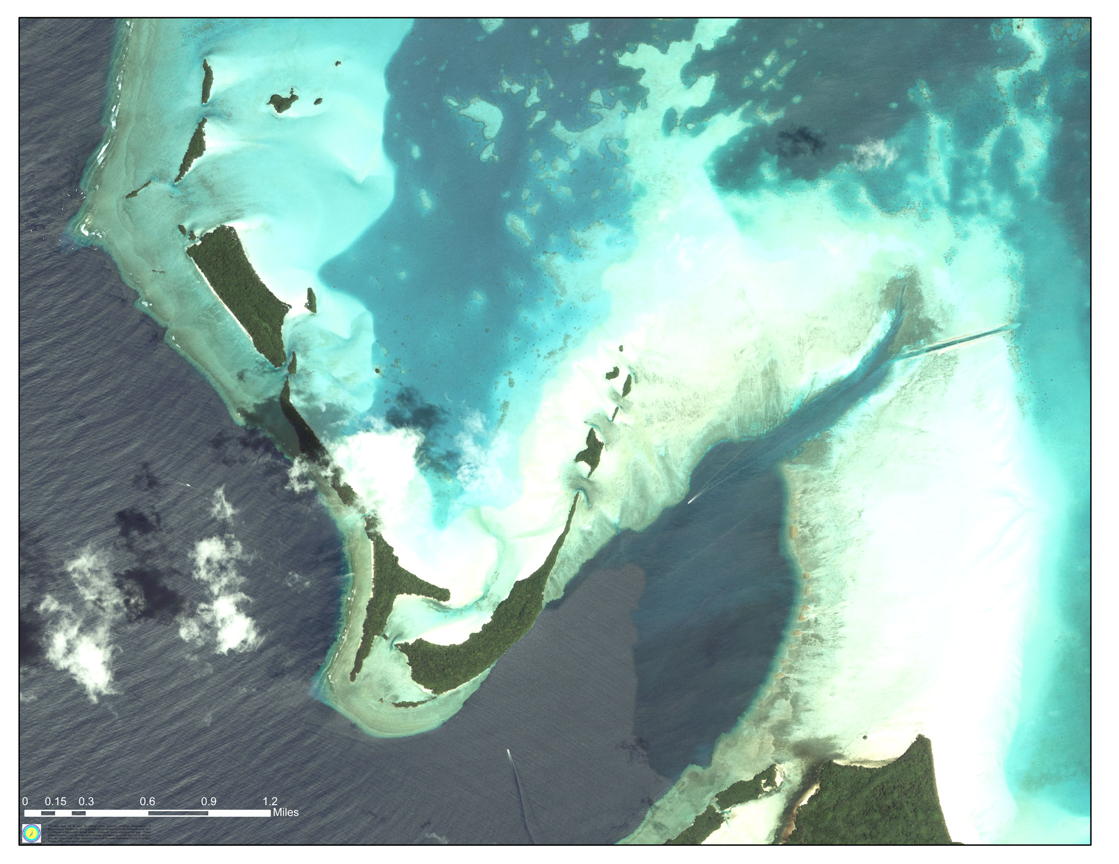
Most of Palau from Southern Babeldaob upper right to just South of Carp Island (Barely north of Pelliliu) at the bottom with Latitude and Longitude grids at 1 Minute. See below for blow-ups and more detail. Use this map to understand the maps below.

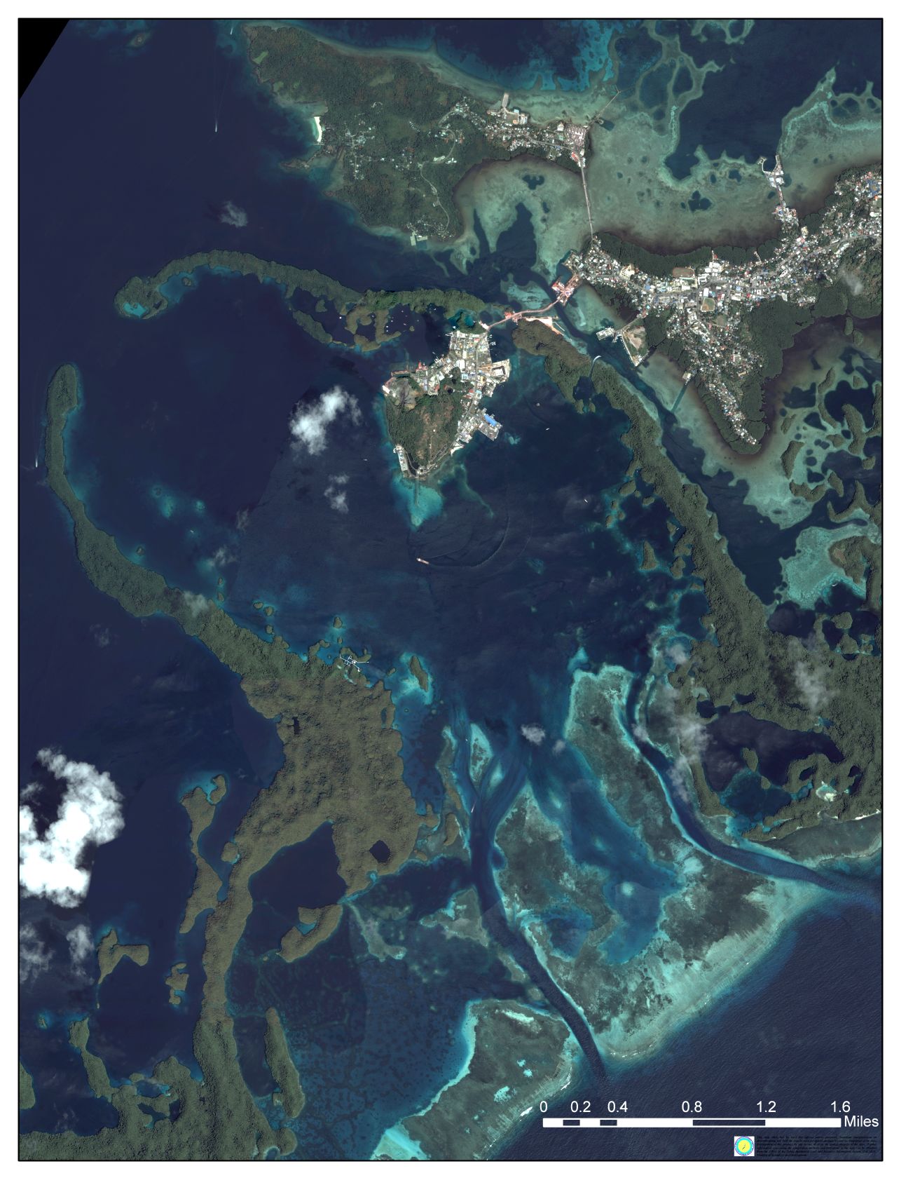
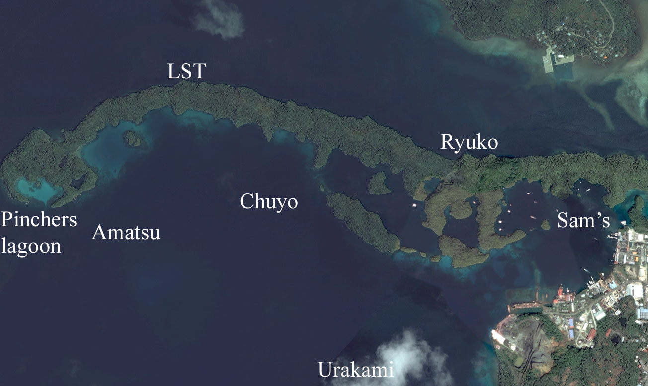
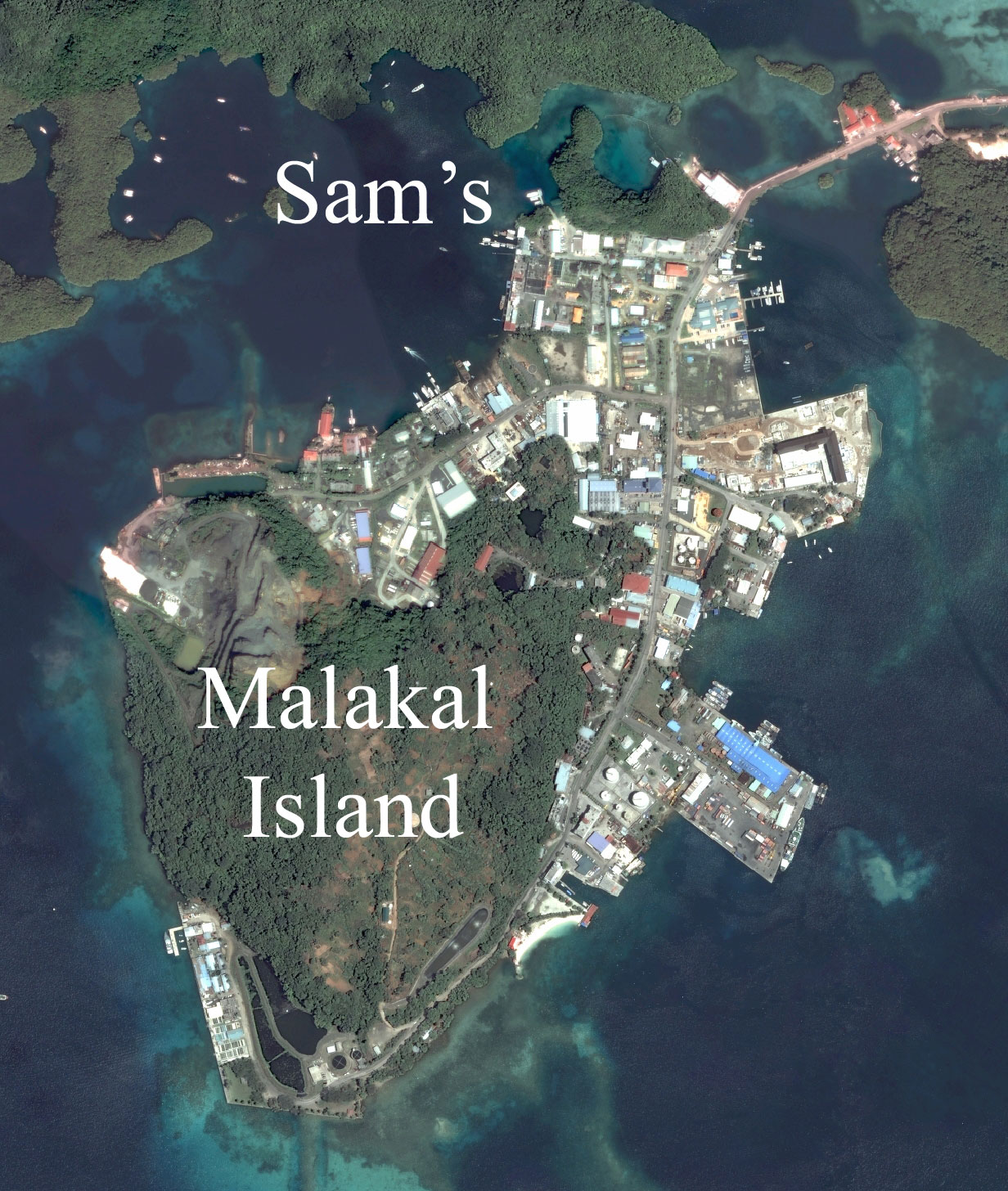
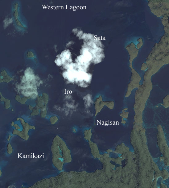
Malakal Harbor For a big picture click here
Top left hand corner of picture is 7º 21.767' - N 134º 25.227'E
Bottom right hand corner of picture is 7º 16.435 'N - 134º 29.255'E
Click here for shipwrecks Picture is 6.13 miles high Click here for Sam's

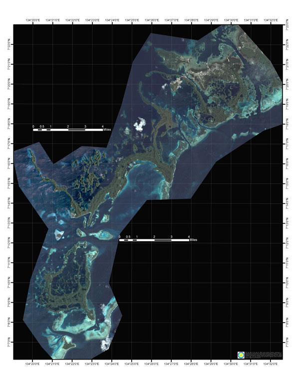
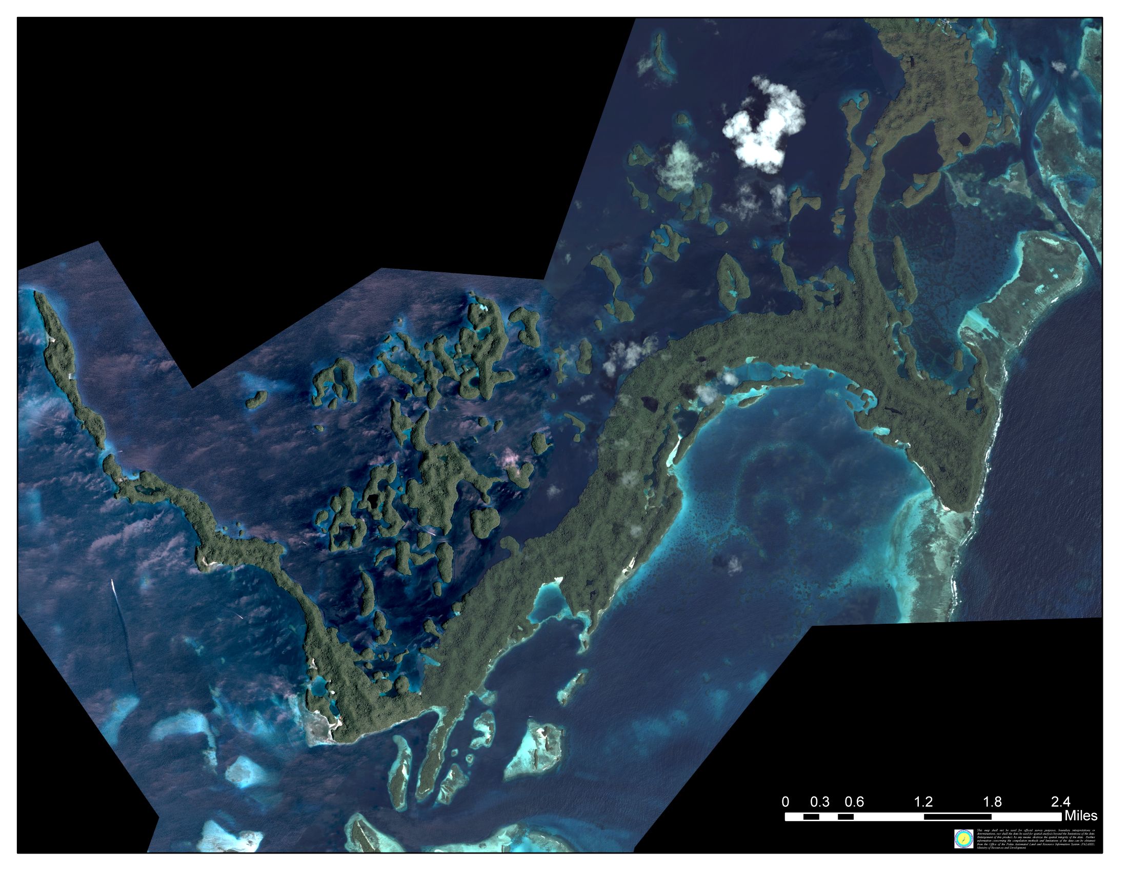
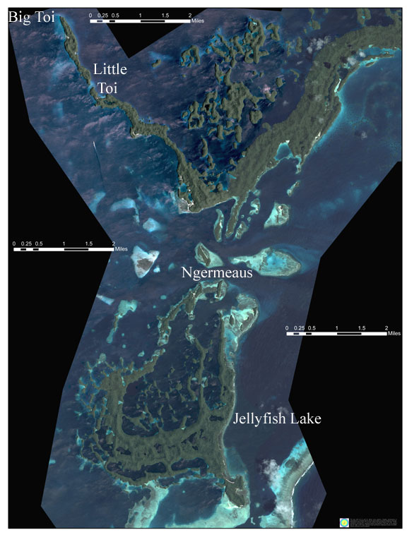
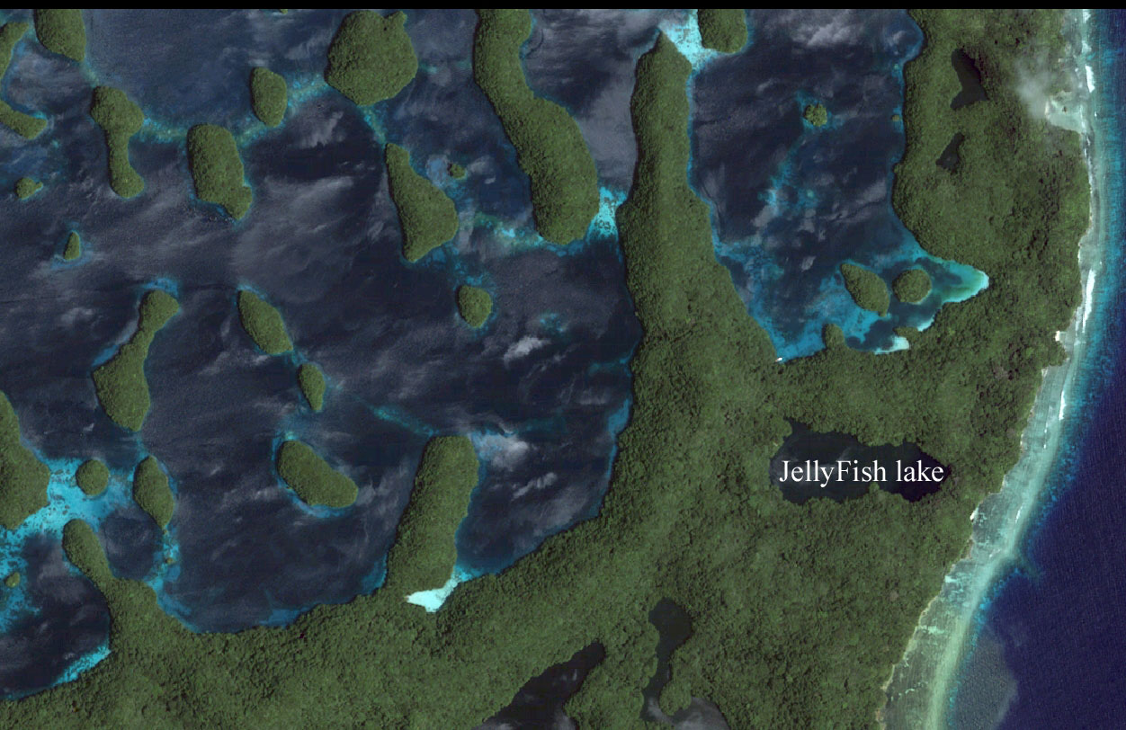
Urukthapel Island For a big picture click here
Top left hand corner of picture is 7º 18.795 'N 134º 19.695 'E
Bottom right hand corner of picture is 7º 12.464 'N - 134º 27.950 'E
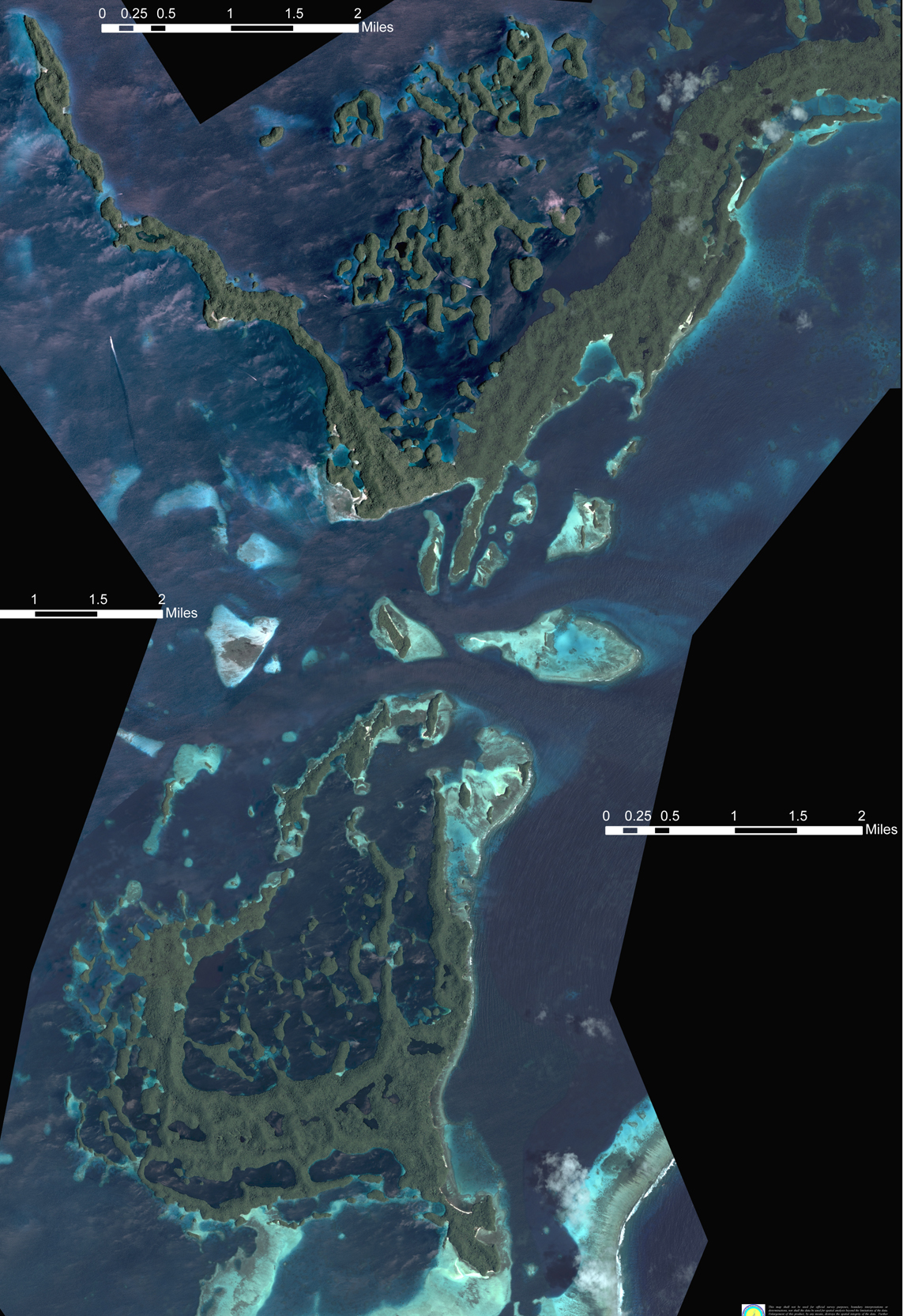
Rock Islands in detail Click here for a large pic 1100 X 1665
from just below Malakal Harbor
to just north of Peleliu
Saies Complex is just off the northern part (to the left) and Blue Corner complex is just off the southern part
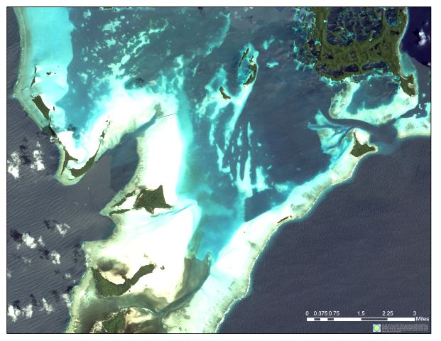
Blue Corner area For a big picture click here
 Top left hand corner of picture is 7º 10.272
'N 134º 13.114 'E
Top left hand corner of picture is 7º 10.272
'N 134º 13.114 'E
Bottom right hand corner of picture is 7º 02.332
'N - 134º 23.486 'E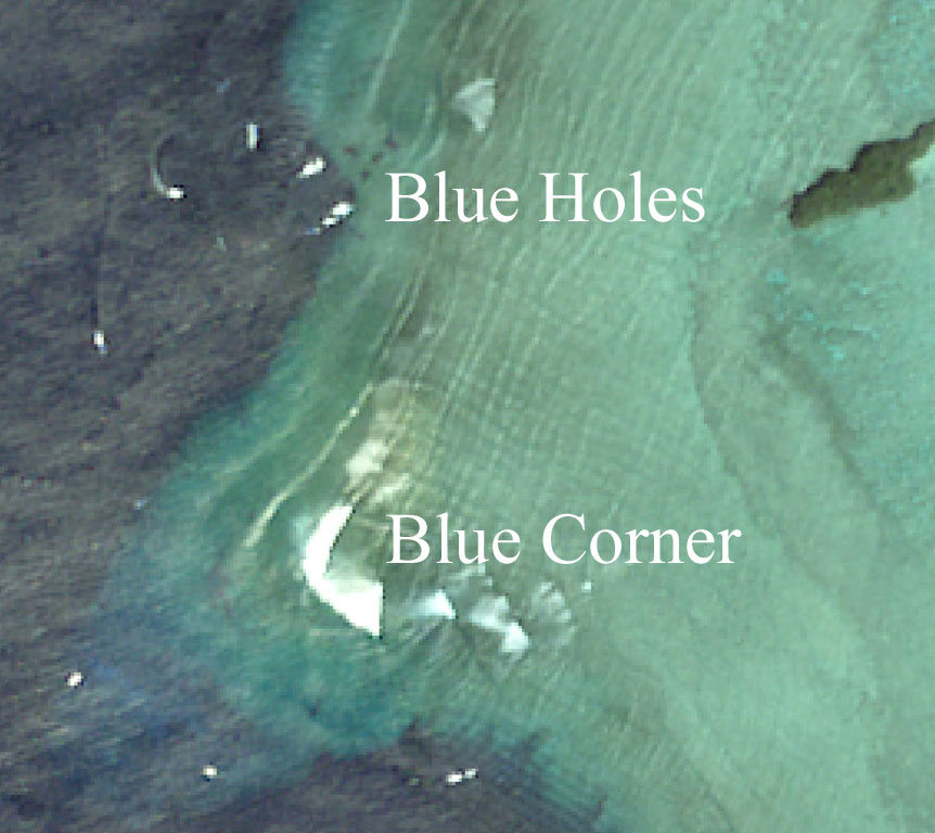
Distance between Blue holes and Blue corner is 1000 feet.
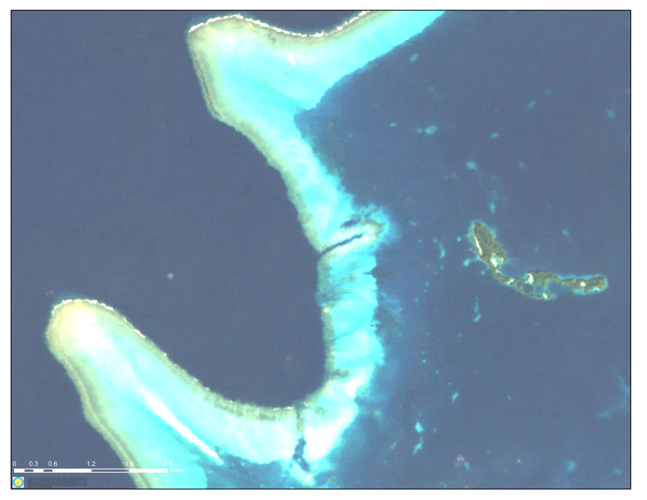
Siaes Corner Complex
Located just north of the Blue corner Complex and part of that continuous reef.

All Palau
Top left hand corner of picture is 7º 'N 134º 'E
Bottom right hand corner of picture is 6º 'N - 134º 'E